Interactive maps

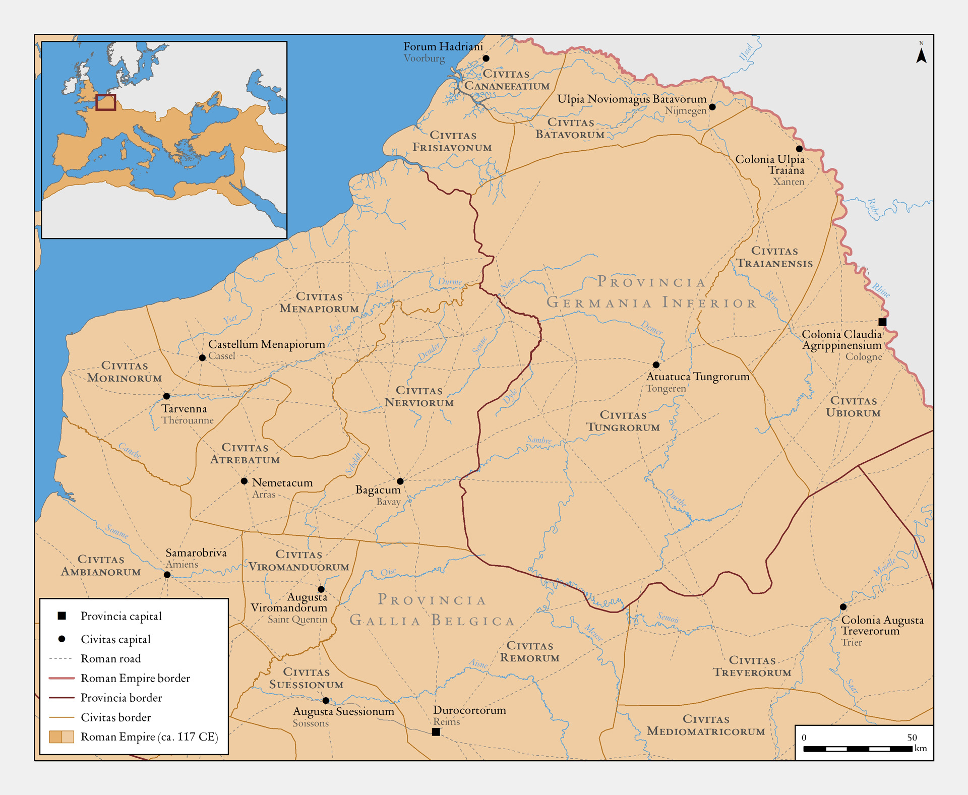
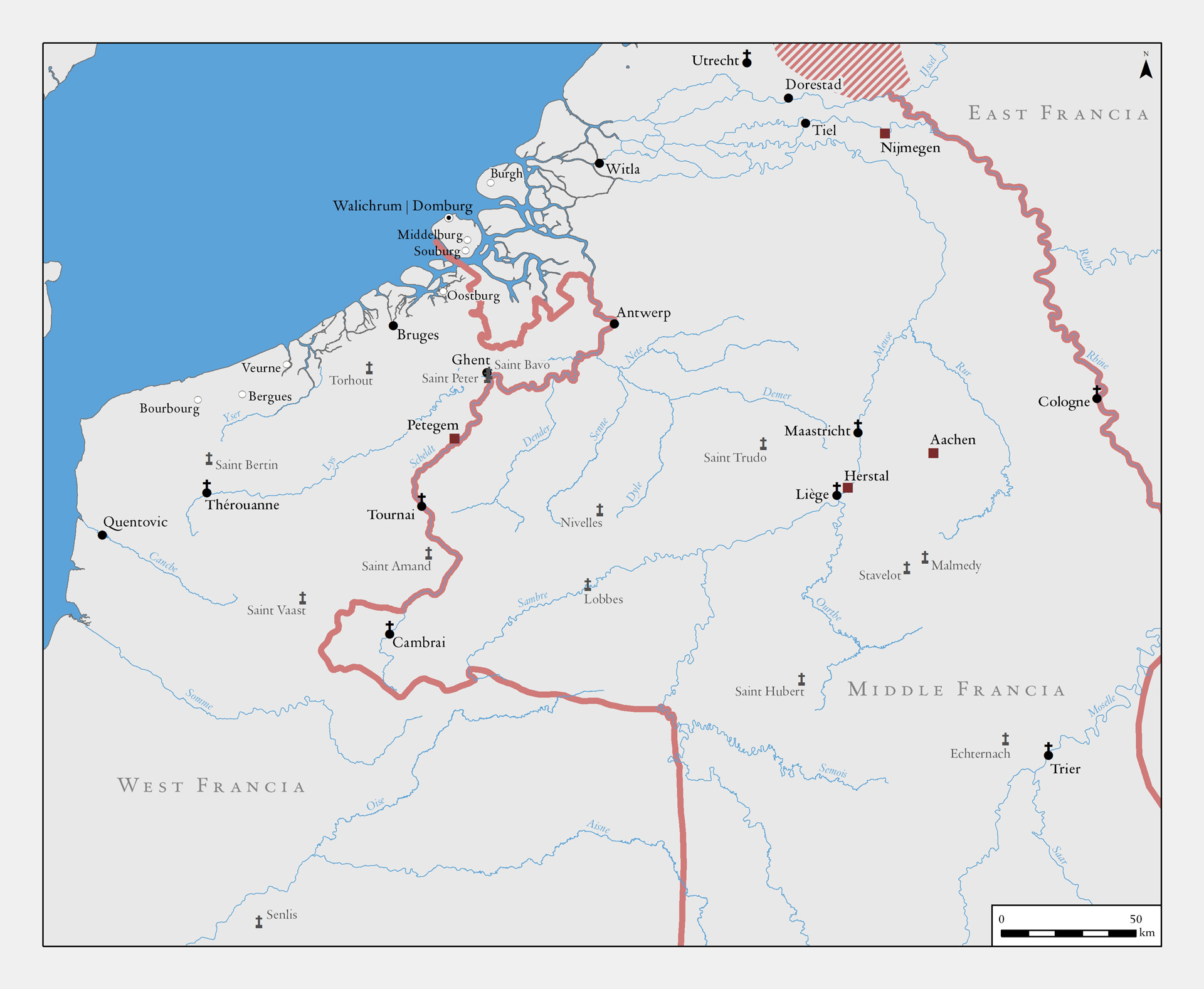
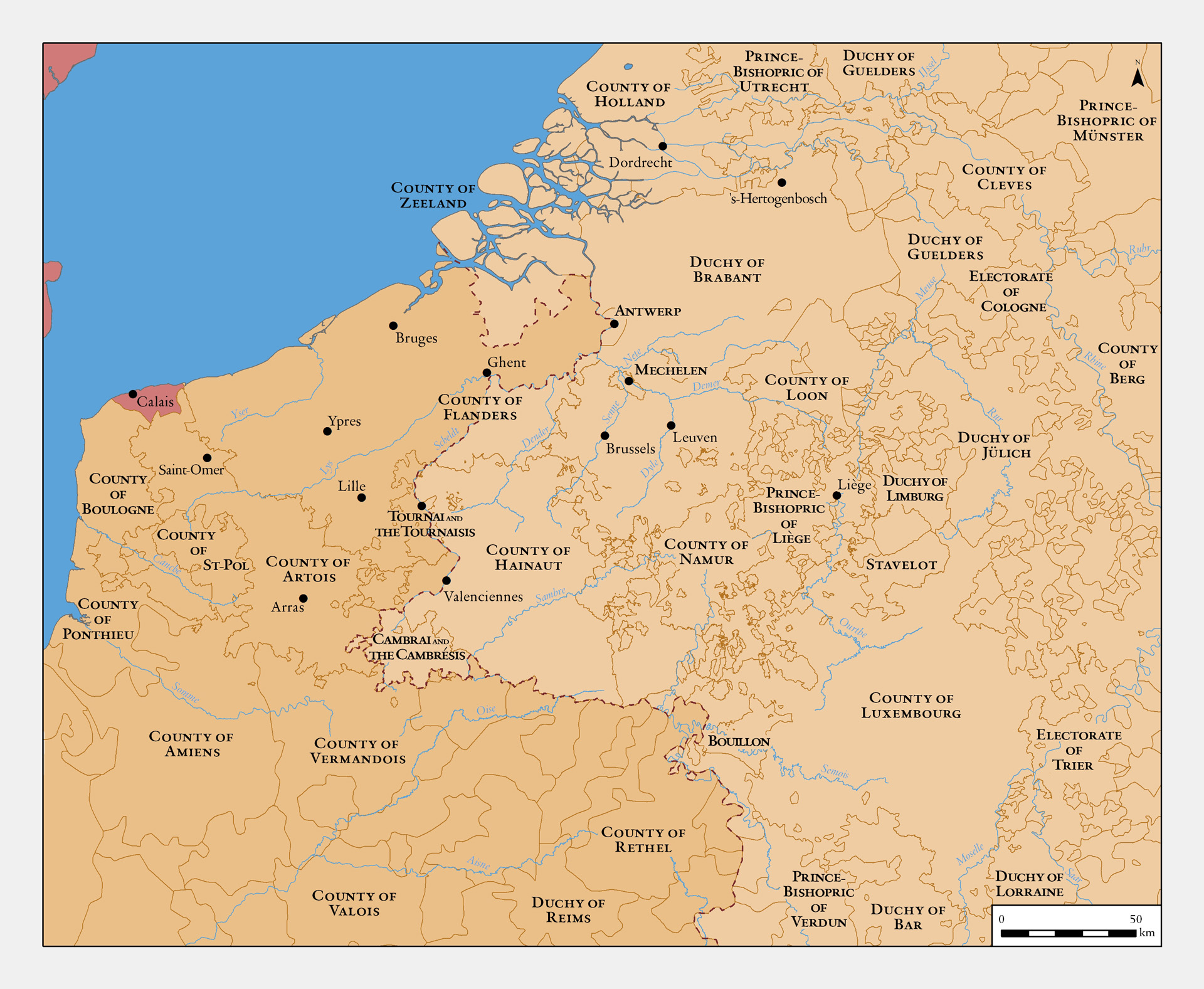
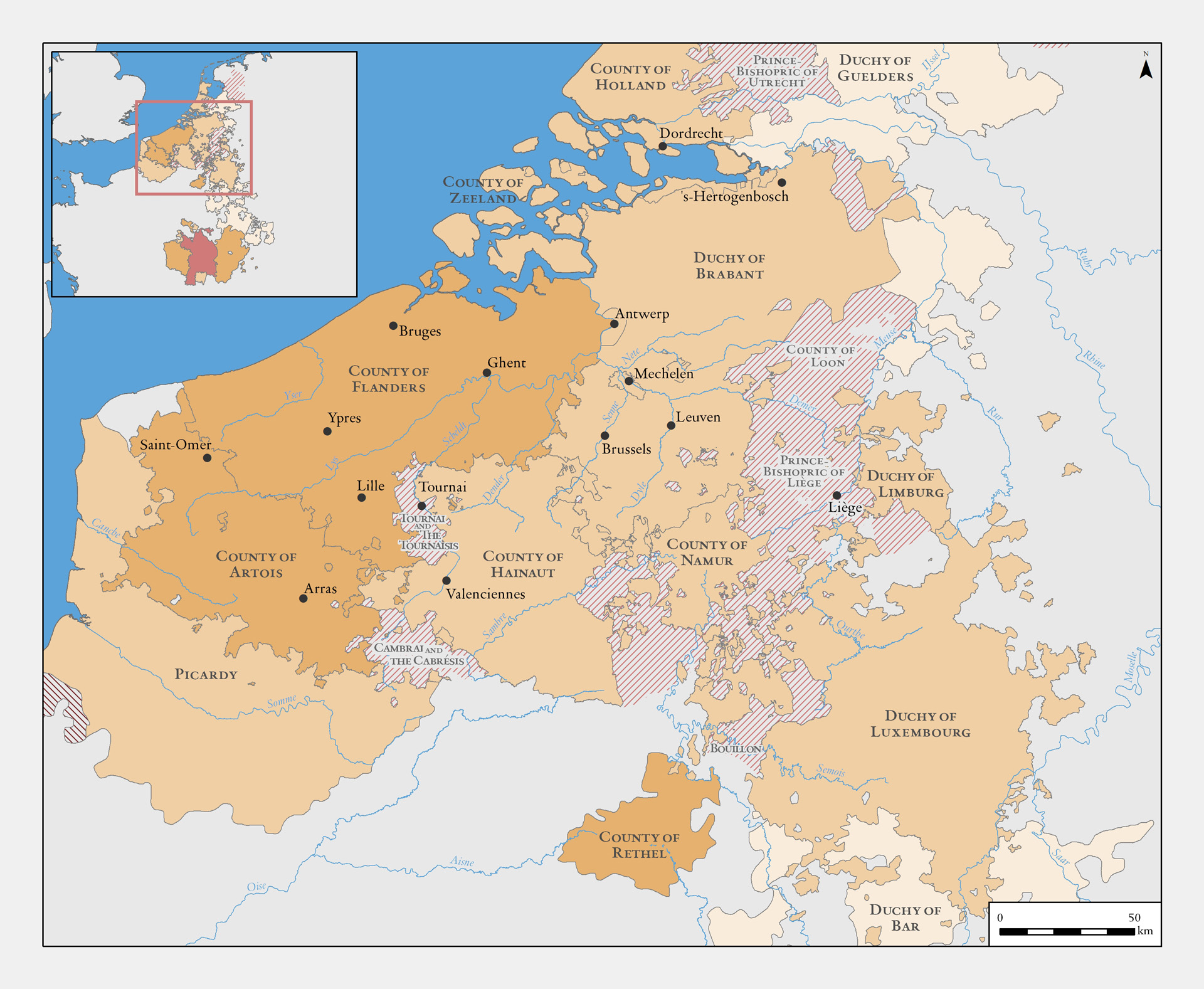
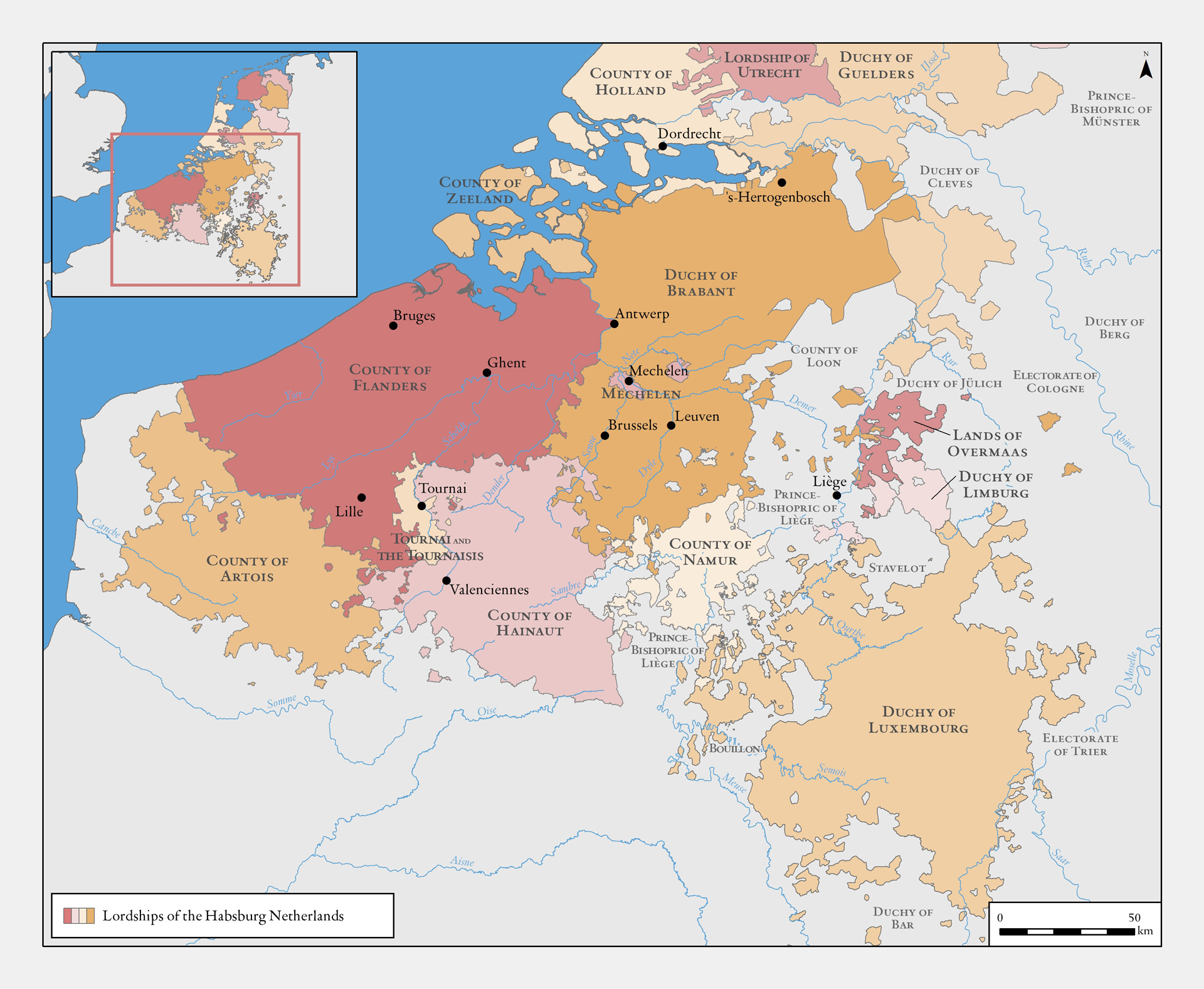
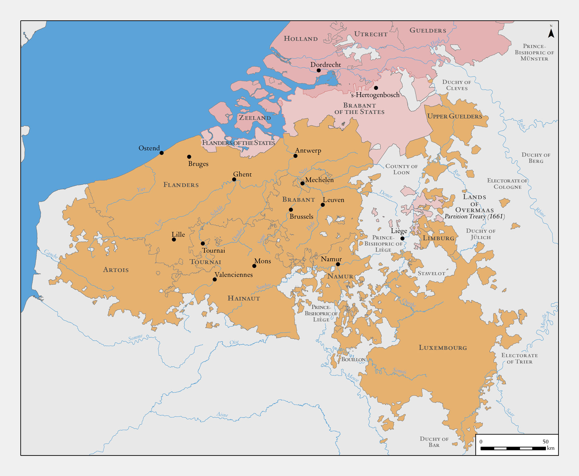
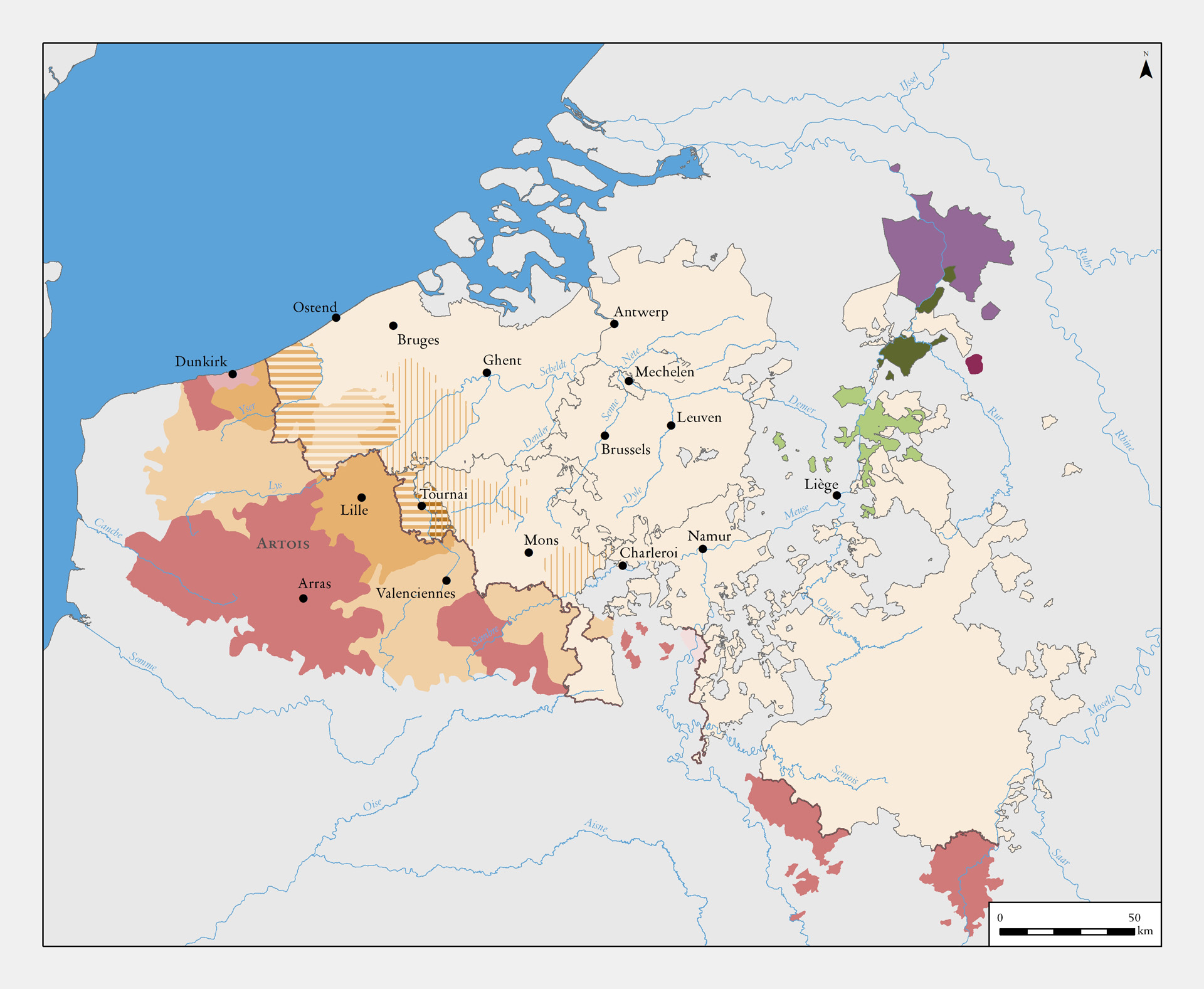
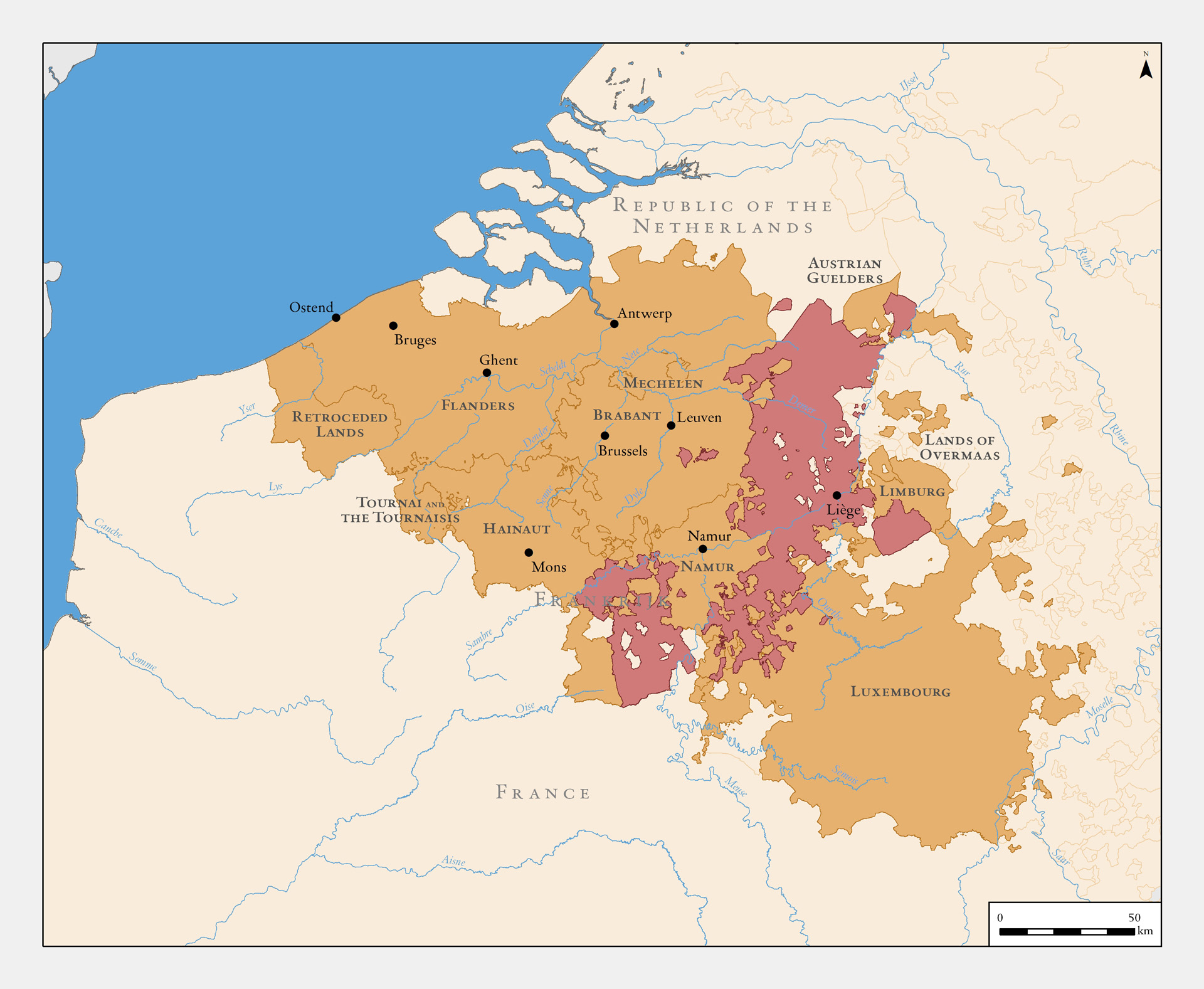
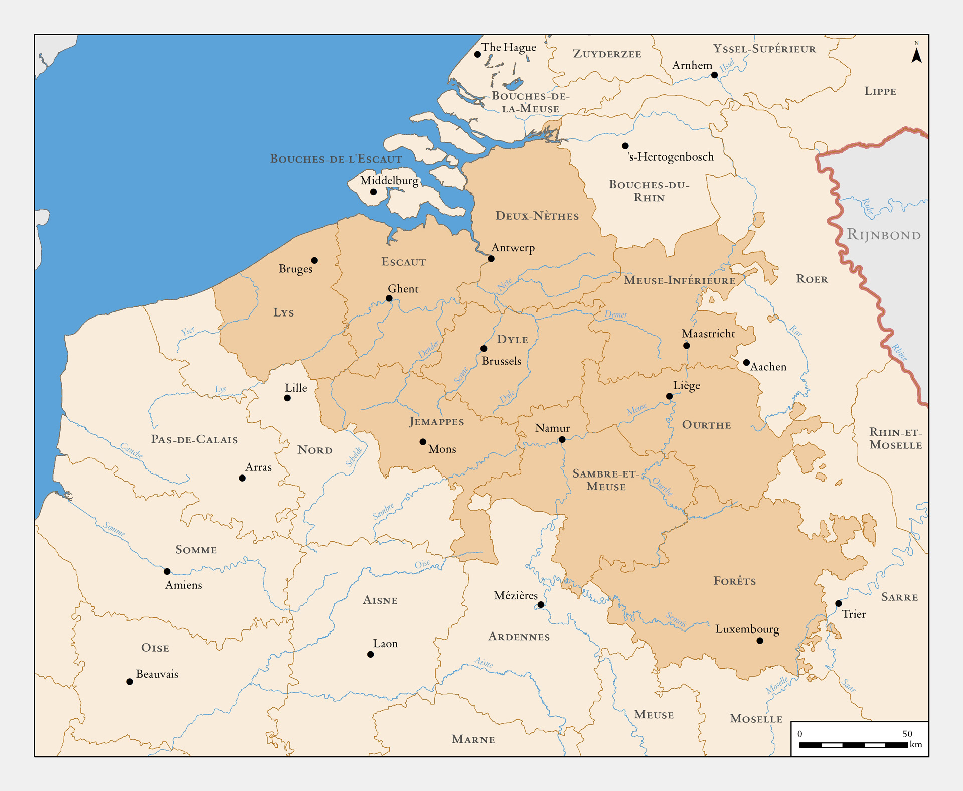
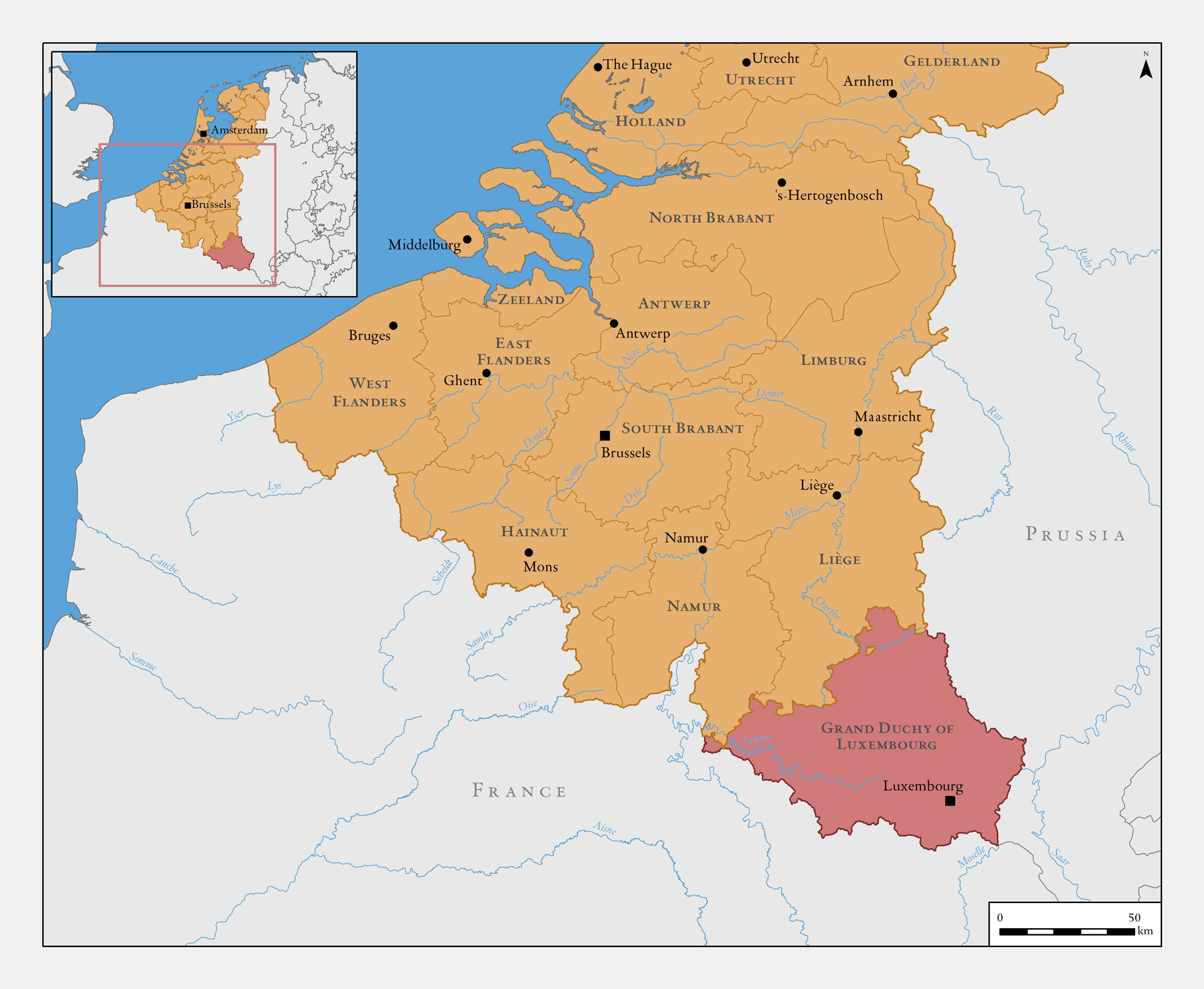
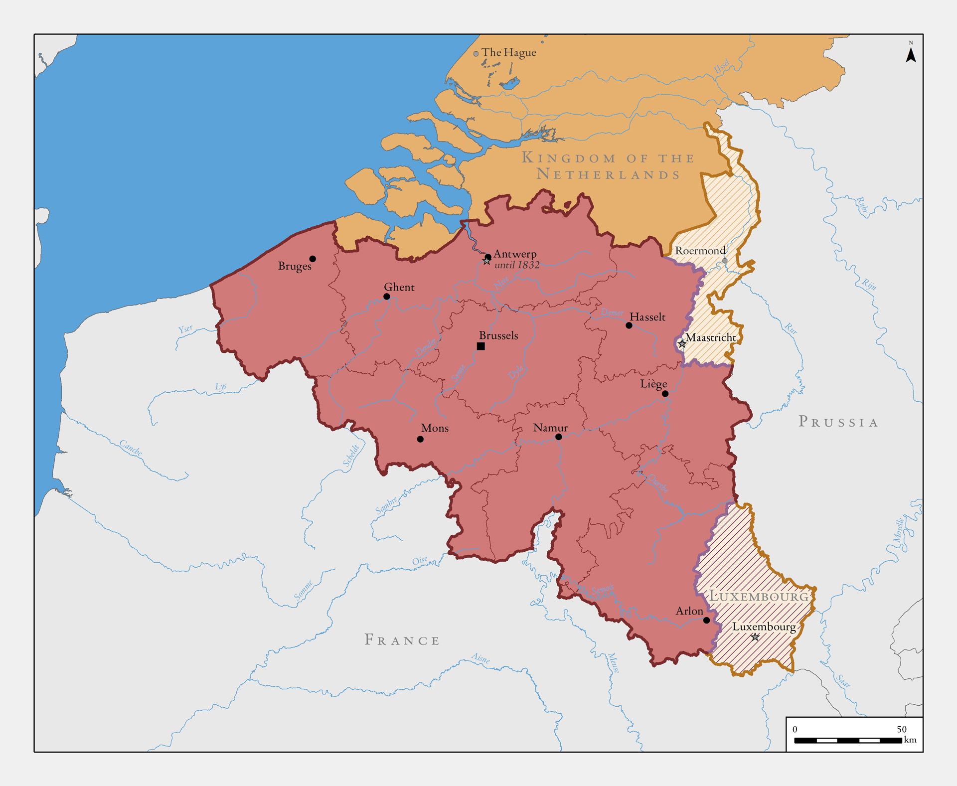
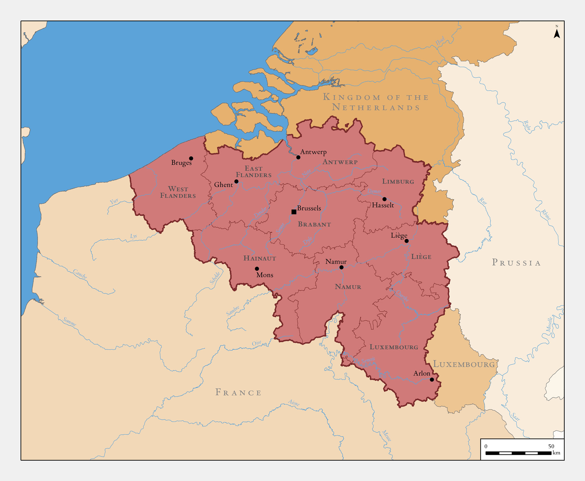
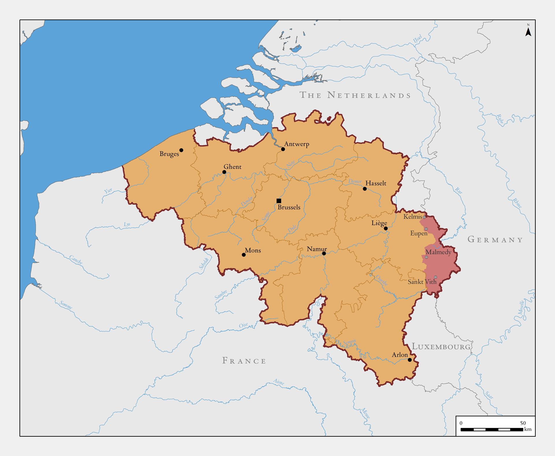
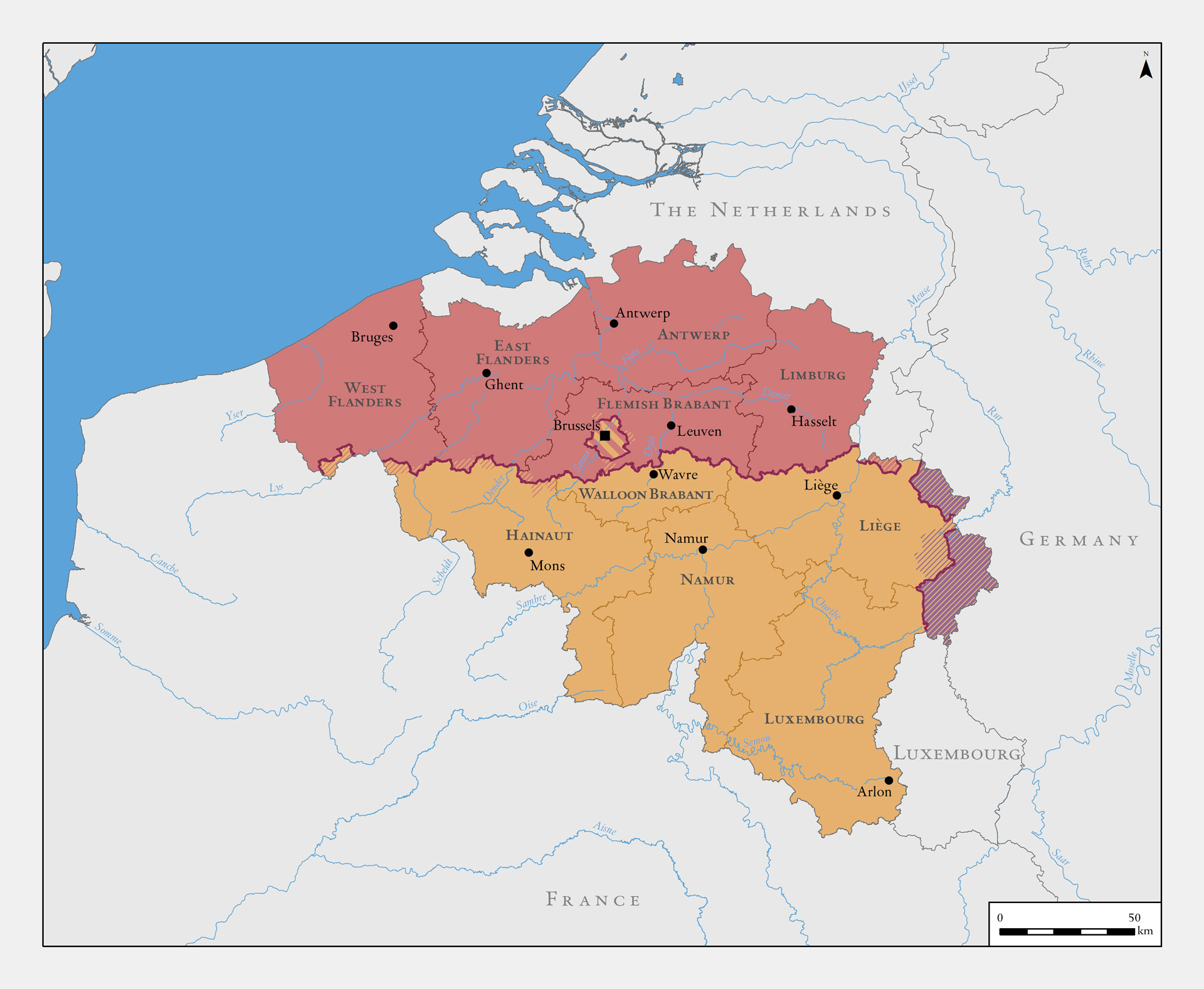
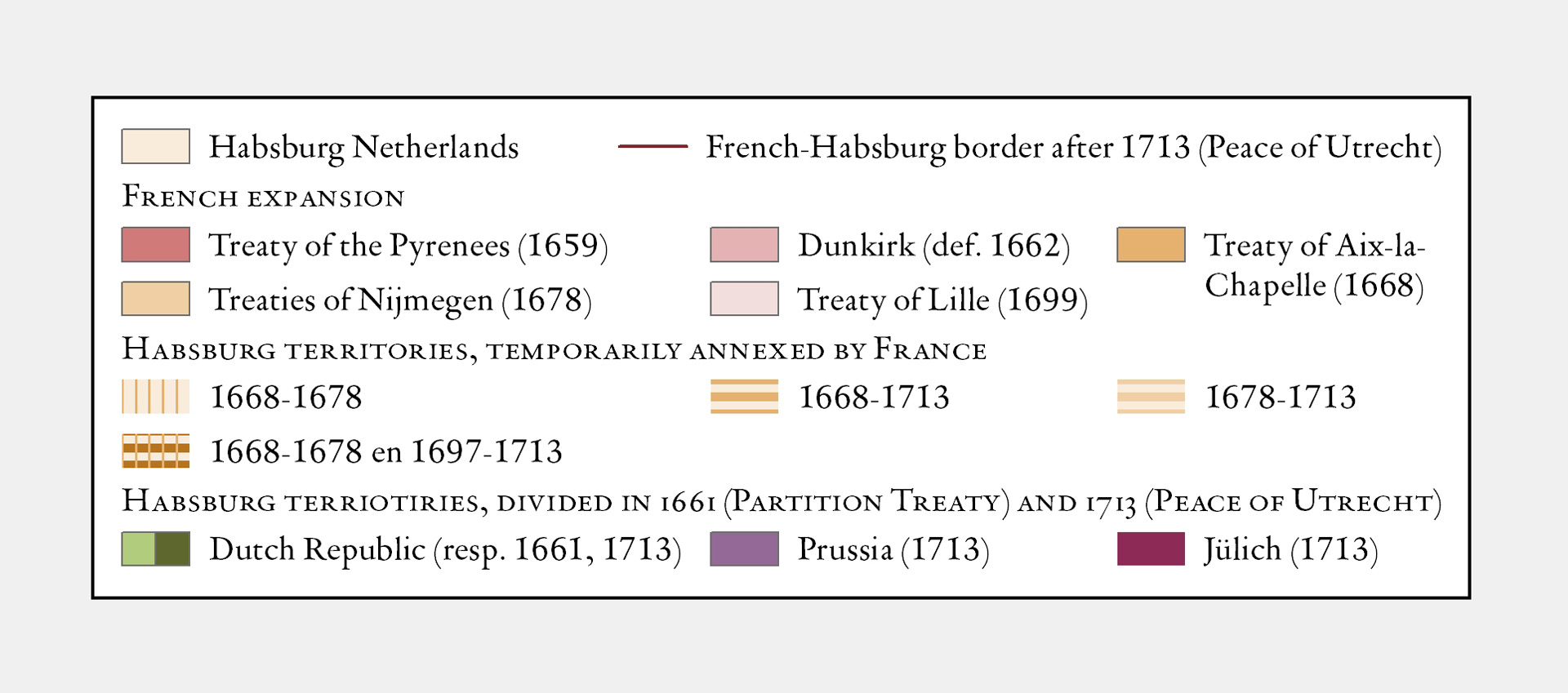
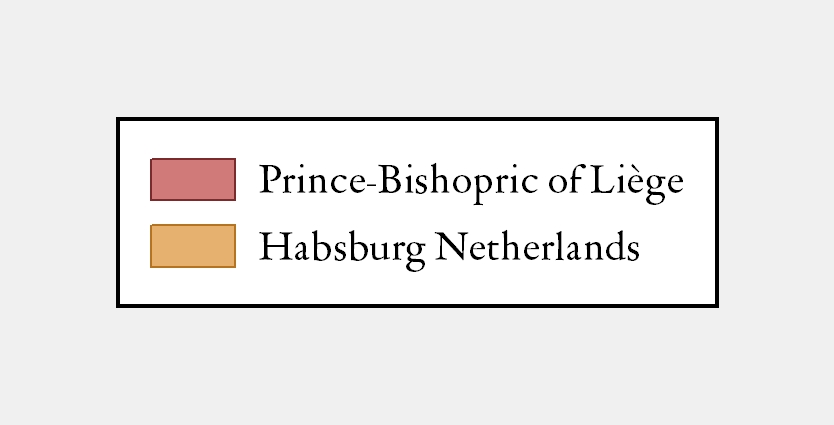
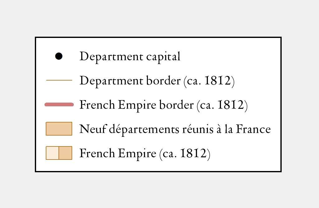
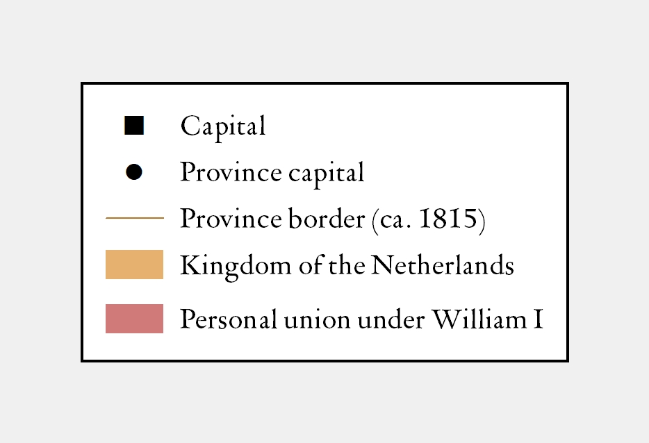
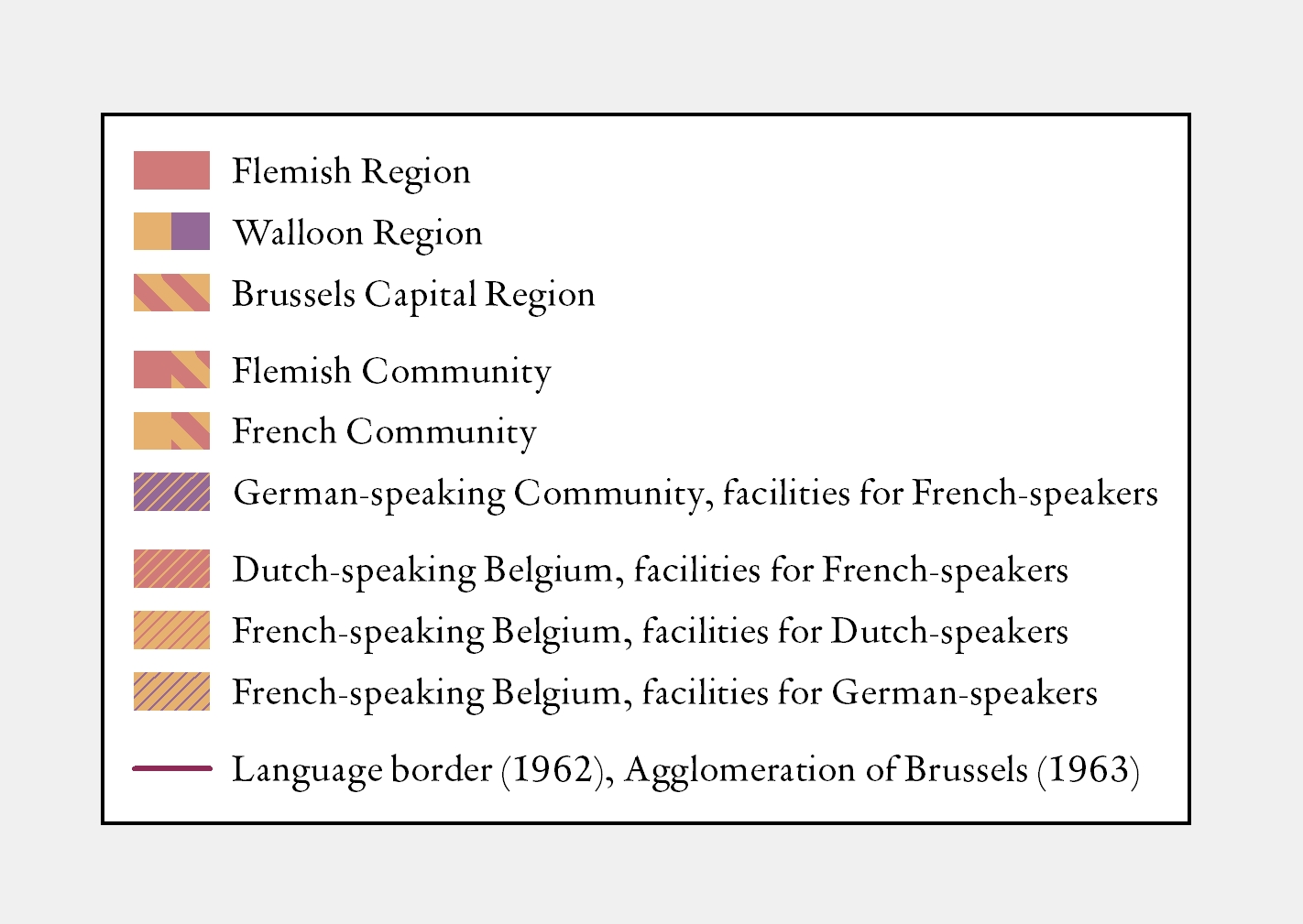
Flanders as we know it now only took shape from the 19th century on in the context of modern Belgium. Before that time the name referred to the old county, which roughly speaking covered the present-day provinces of East- and West-Flanders as well as Zeeland-Flanders and French-Flanders. However, what today is called Flanders was in the past a colourful amalgam of territories that led a fairly independent existence before becoming part of wider political units such as the Burgundian, the Spanish or the Austrian Netherlands. For a long time he language border, which today marks off the Flemish Region, had little political meaning. Language only became a nation-forming factor in Europe in the 19th century.

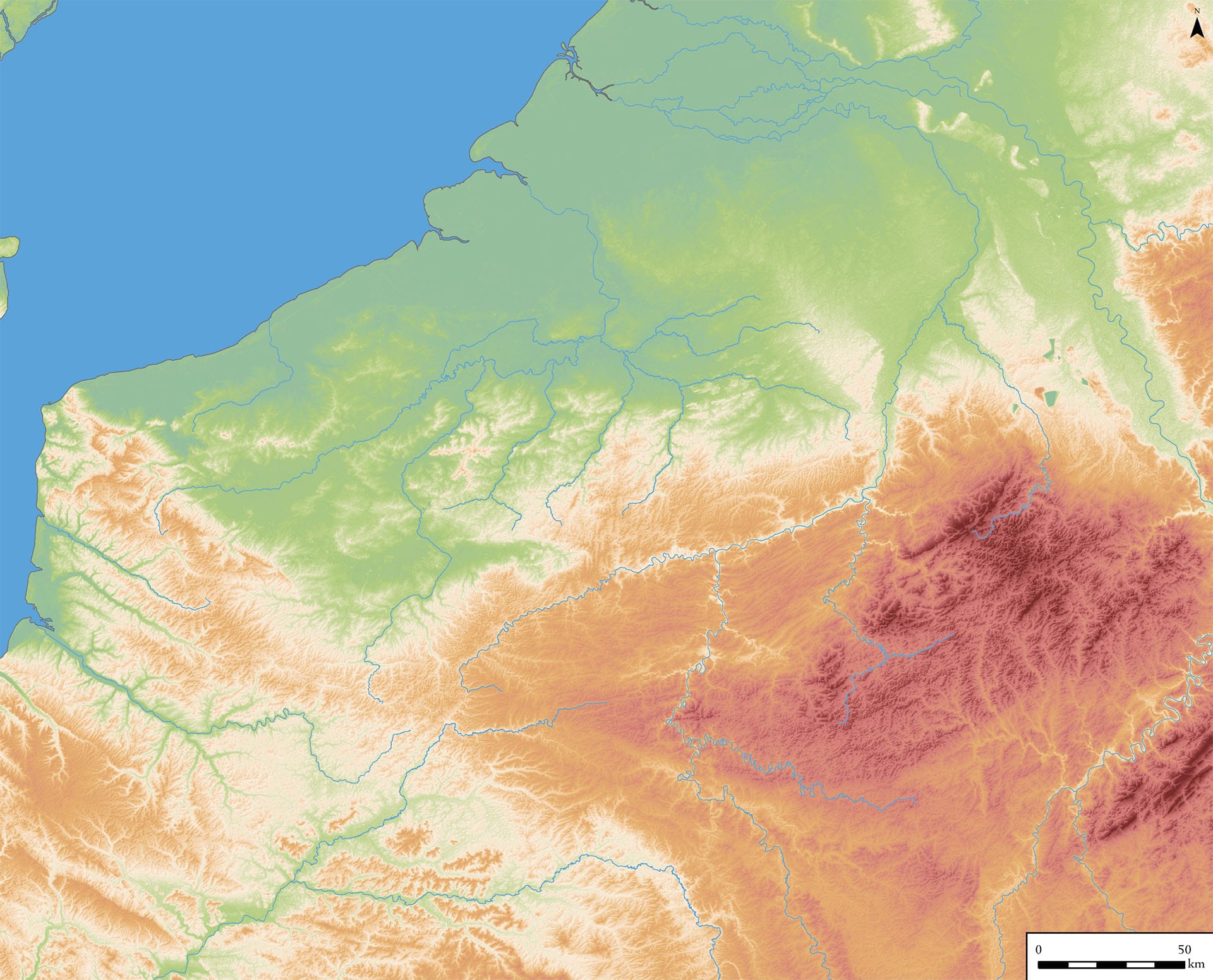
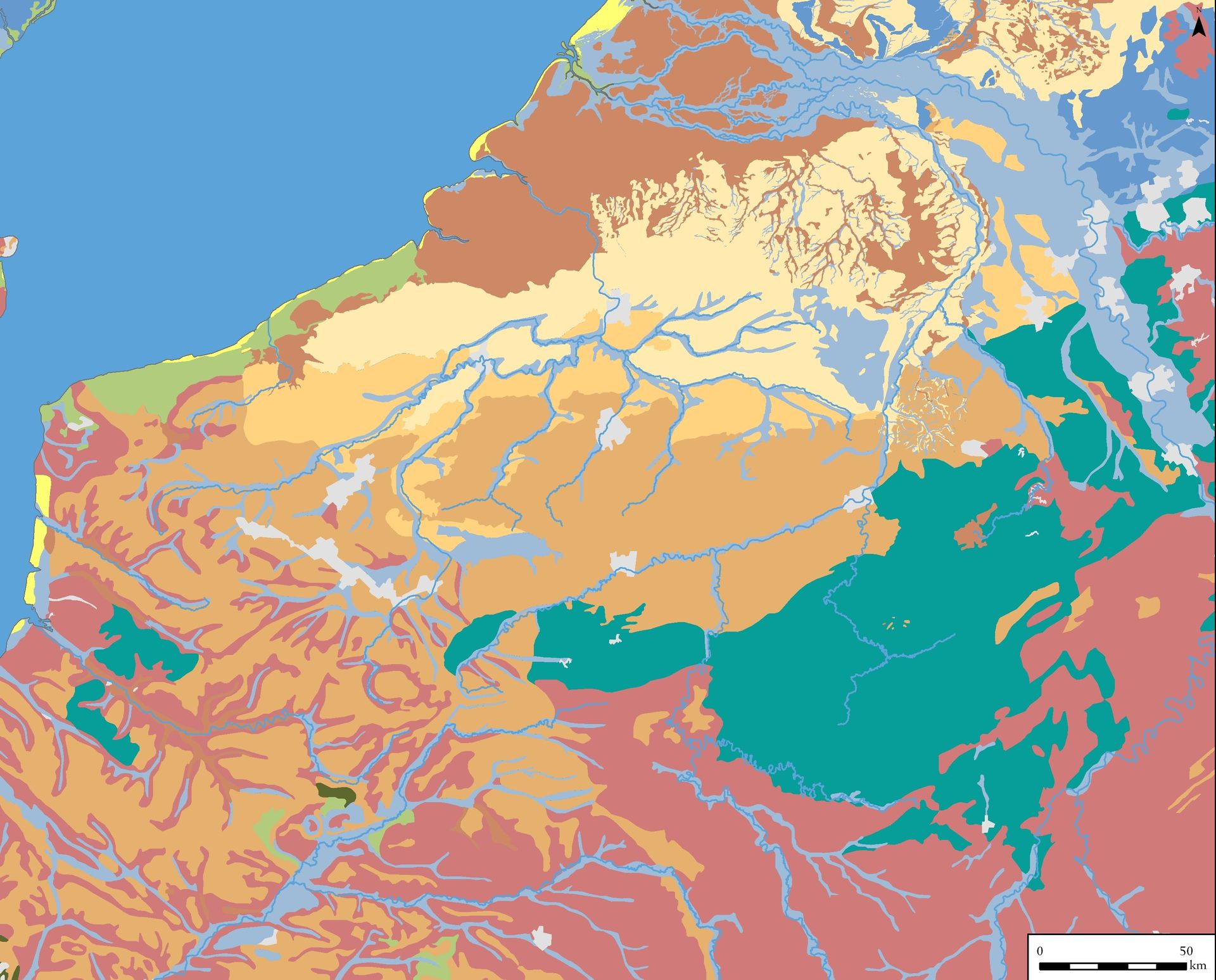
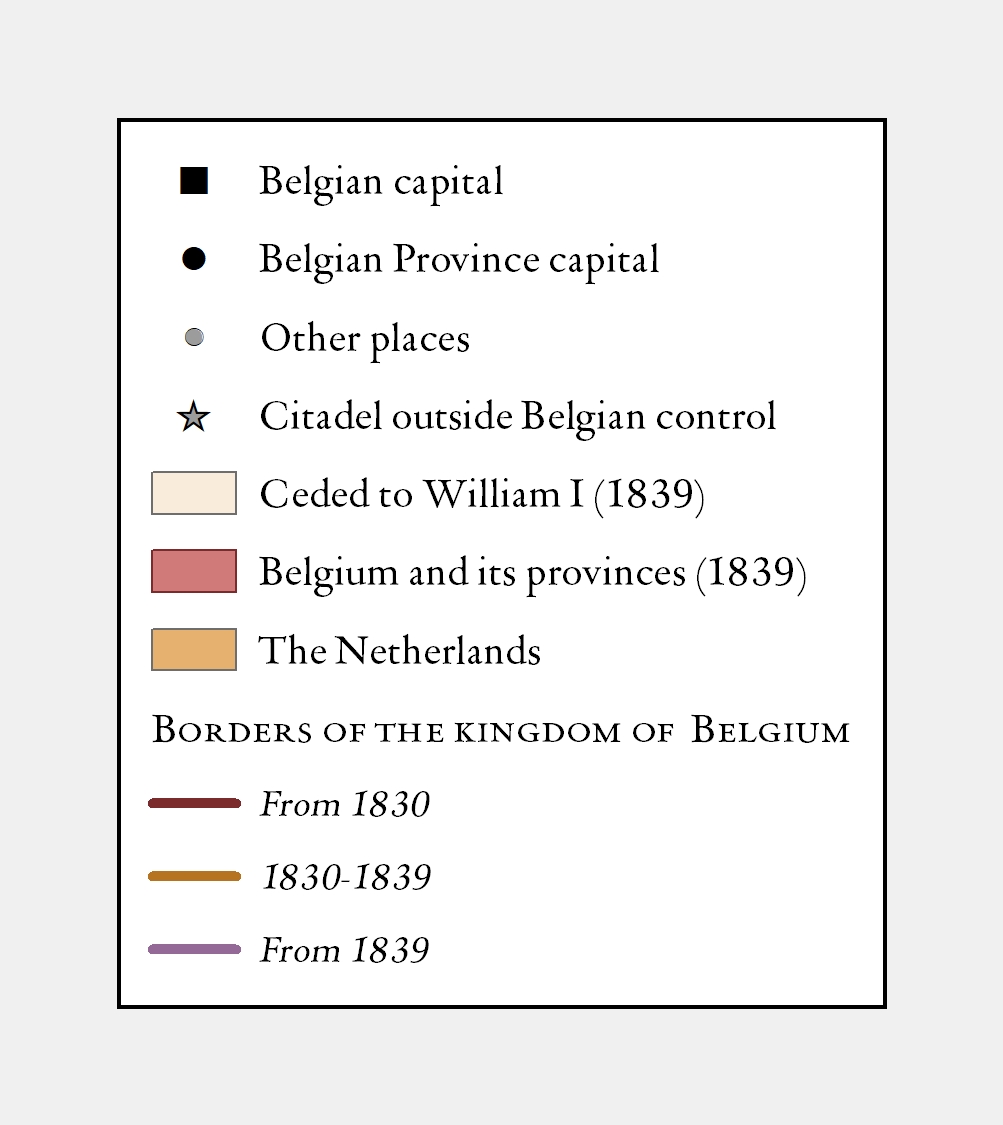
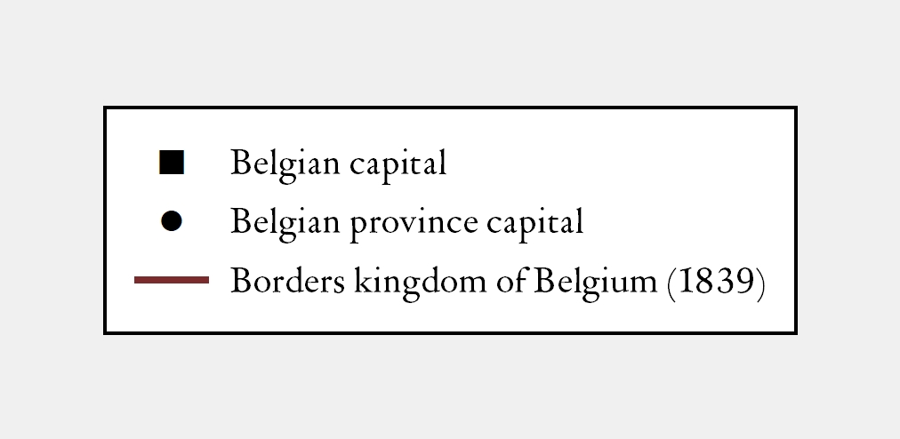
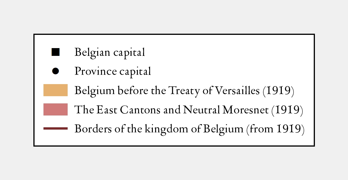
For this canon 17 historical maps were designed by the committee and Hans Blomme of the Ghent Center for Digital Humanities. You will find these maps  in some windows. 16 maps are included in the animation below. [here you can click to find the sources used]

Relief map of North-West Europe
Soil association map of North-West Europe
North-West Europe under the Romans, c. 117
North-West Europe under the Franks, 9th century
Medieval principalities in the Netherlands, 14th century
The Burgundian Netherlands, 14th-15th century
The Habsburg Netherlands under Charles V, mid-16th century
The division of the Netherlands, 1568-1648
French expansion to the north, 1659-1713
The Austro-Habsburg Netherlands and the Prince-Bishopric of Liège, 18th century
North-West Europe under French rule, 1812
Kingdom of the Netherlands, 1815-1830
The creation of the Kingdom of Belgium, 1830-1839
The Kingdom of Belgium, 1839
Belgium after the Versailles peace treaty (30 June 1919)
The federalization of Belgium, 1970-1993
Relief map of North-West Europe legend Soil association map of North-West Europe legend North-West Europe under the Romans, c. 117 legend North-West Europe under the Franks, 9th century legend Medieval principalities in the Netherlands, 14th century  legend The Burgundian Netherlands, 14th-15th century legend The Habsburg Netherlands under Charles V, mid-16th century legend The division of the Netherlands, 1568-1648 legend French expansion to the north, 1659-1713 legend The Austro-Habsburg Netherlands and the Prince-Bishopric of Liège, 18th century legend North-West Europe under French rule, 1812 legend Kingdom of the Netherlands, 1815-1830 legend The creation of the Kingdom of Belgium, 1830-1839 legend The Kingdom of Belgium, 1839 legend Belgium after the Versailles peace treaty (30 June 1919) legend The federalization of Belgium, 1970-1993 legend
Relief map of North-West Europe
Soil association map of North-West Europe
North-West Europe under the Romans, c. 117
North-West Europe under the Franks, 9th century
Medieval principalities in the Netherlands, 14th century
The Burgundian Netherlands, 14th-15th century
The Habsburg Netherlands under Charles V, mid-16th century
The division of the Netherlands, 1568-1648
French expansion to the north, 1659-1713
The Austro-Habsburg Netherlands and the Prince-Bishopric of Liège, 18th century
North-West Europe under French rule, 1812
Kingdom of the Netherlands, 1815-1830
The creation of the Kingdom of Belgium, 1830-1839
The Kingdom of Belgium, 1839
Belgium after the Versailles peace treaty (30 June 1919)
The federalization of Belgium, 1970-1993